Introduction
Spatial science is a field of study that involves analyzing patterns in geographic data to better understand the world around us. This type of research is used to gain insights into the environment, economics, and even social issues. By understanding the spatial relationships between different elements, researchers can make more informed decisions that benefit society as a whole.

Exploring the Basics of Spatial Science
To better understand what spatial science is, it’s important to first define the term. According to the American Association for Geographers, “Spatial science is the study of how people interact with their physical and social environment. It uses tools and techniques from mathematics, computer science, and other disciplines to analyze spatial patterns and relationships.” In this way, spatial science is an interdisciplinary field that combines multiple academic areas to gain a better understanding of our world.
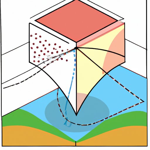
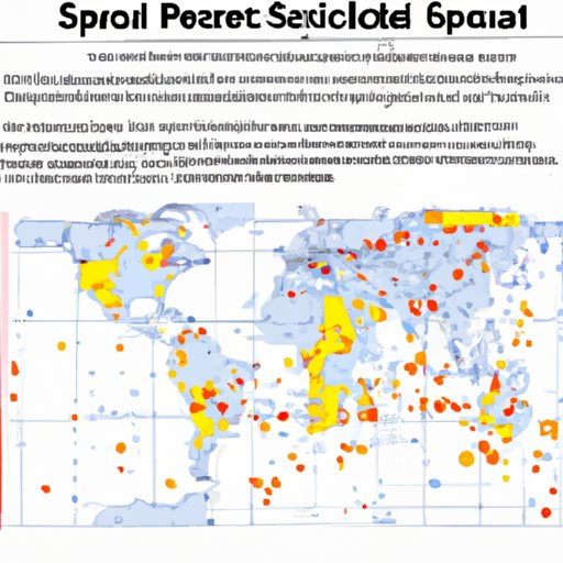
There are several types of spatial science, including geographic information systems (GIS), remote sensing, geovisualization, and spatial analysis. Each of these areas has its own set of tools and techniques that can be used to analyze geographic data. GIS is one of the most popular methods, as it allows researchers to collect, store, and analyze geographic data. Remote sensing is another type of spatial science, which involves using satellites and other imagery to gain insights into the Earth’s surface. Geovisualization is a method of visualizing data in a way that makes it easier to interpret, while spatial analysis is a way of examining patterns in geographic data.

Understanding Spatial Science Through Examples
To better understand how spatial science is used in the real world, it’s helpful to look at some examples of its applications. For instance, the U.S. Geological Survey (USGS) uses GIS to map out the nation’s topography and natural resources. By doing so, they are able to make more informed decisions about land use and conservation efforts. Additionally, GIS can be used to track the spread of diseases or analyze crime patterns. This type of data can then be used to develop strategies to prevent further spread of the disease or reduce crime rates in certain areas.
Another example of spatial science is the use of remote sensing to monitor changes in the environment. For instance, satellite imagery can be used to detect deforestation or monitor water levels in rivers and lakes. This type of data can then be used to inform policy decisions that help protect the environment.
The Benefits of Using Spatial Science
By understanding the spatial patterns of the world around us, we can make more informed decisions that have a positive impact on society. There are several benefits to using spatial science, including improved decision making, enhanced communication, and increased efficiency.
Improved decision making is perhaps the biggest benefit of using spatial science. By utilizing geographic data, researchers can gain a better understanding of the environment and develop strategies to address any issues. For instance, GIS can be used to identify areas that are prone to natural disasters and develop plans to mitigate the effects.
Enhanced communication is another key benefit of using spatial science. By visualizing geographic data, researchers can share their findings with others in a more effective manner. This can help increase public awareness of environmental or social issues, leading to better policy decisions.
Finally, using spatial science can also lead to increased efficiency. By understanding the spatial relationships between different elements, researchers can identify areas where resources are being wasted and develop strategies to improve efficiency. Additionally, GIS can be used to optimize delivery routes or plan the most efficient evacuation routes in the event of a natural disaster.

A Comprehensive Overview of Spatial Science
In order to gain a comprehensive understanding of spatial science, it’s important to examine the types of data used, the tools used to analyze spatial patterns, and the software used to work with geographic data.
Types of data used in spatial science include maps, aerial photographs, satellite images, and census data. Maps provide a two-dimensional representation of the world, while aerial photographs and satellite images provide a three-dimensional view. Census data can be used to gain insights into population trends and demographic changes.
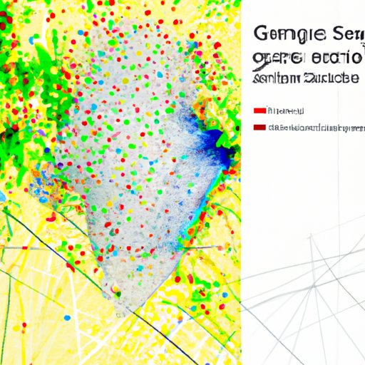
Analyzing spatial patterns involves looking for patterns in the geographic data. This can include identifying clusters of features, such as cities or forests, or examining the distribution of certain species. By understanding these patterns, researchers can gain insights into the environment and better understand the world around them.
Finally, working with GIS software is an essential part of spatial science. GIS software is used to create maps, analyze geographic data, and visualize spatial patterns. This type of software is used by researchers, government agencies, and businesses to gain insights into the environment and make more informed decisions.
Examining the Role of Spatial Science in Society
Spatial science plays an important role in society in many ways. It can be used to promote economic development, reduce environmental impact, and understand social implications.
For instance, GIS can be used to identify areas that are ripe for economic development. This type of data can be used to inform decisions about where to build new businesses or infrastructure projects. Additionally, GIS can be used to identify areas that are vulnerable to natural disasters, allowing governments to better prepare for potential emergencies.
Spatial science can also be used to reduce the environmental impact of certain activities. For instance, GIS can be used to identify areas that are at risk of deforestation or water contamination. This type of data can then be used to develop strategies to mitigate the effects of these activities.
Finally, spatial science can be used to gain a better understanding of social issues. By examining spatial patterns, researchers can identify areas that are underserved or vulnerable to certain problems. This type of data can then be used to develop policies that address these issues and improve the lives of those affected.
Conclusion
In conclusion, spatial science is a field of study that uses tools and techniques from multiple disciplines to gain insights into the environment, economics, and social issues. By understanding the spatial relationships between different elements, researchers can make more informed decisions that benefit society as a whole. There are several types of spatial science, including GIS, remote sensing, geovisualization, and spatial analysis. Additionally, there are many benefits to using spatial science, including improved decision making, enhanced communication, and increased efficiency. Finally, spatial science plays an important role in society in terms of economic development, environmental impact, and social implications.
(Note: Is this article not meeting your expectations? Do you have knowledge or insights to share? Unlock new opportunities and expand your reach by joining our authors team. Click Registration to join us and share your expertise with our readers.)
