Introduction
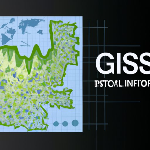
GIS technology, or Geographic Information Systems, is a powerful tool for collecting, analyzing, and visualizing data. By leveraging the power of maps and spatial analysis, GIS technology allows users to gain insights into their data that would not be possible with other methods. In this article, we will explore the history of GIS technology, its benefits, real-world examples of its use, and how you can use it in your own business.
A Comprehensive History of GIS Technology
The origins of GIS technology can be traced back to the early 1960s when the Canadian government began developing a computerized mapping system. This system was called the Canada Geographic Information System (CGIS) and was developed by the Canadian Department of Energy, Mines and Resources. Since then, GIS technology has evolved significantly, and today it is used in almost every industry, from healthcare to agriculture.
In the 1970s, GIS technology began to be used more widely in the public sector. Governments around the world began to realize the potential of GIS technology for improving decision-making processes and for providing better services to their citizens. GIS technology was also used in the private sector to improve operational efficiency and to gain a better understanding of customer needs and preferences.
Since then, GIS technology has become increasingly popular and is now used in many different industries. For example, GIS technology is used in transportation planning, urban planning, natural resource management, and environmental monitoring. GIS technology has also been used in the banking and finance industry to analyze financial data and identify trends.

Exploring the Benefits of Using GIS Technology
GIS technology offers numerous benefits for businesses and organizations. Here are some of the most significant advantages of using GIS technology:
Improved Decision Making
One of the main advantages of using GIS technology is that it allows users to make informed decisions based on accurate and up-to-date data. By leveraging the power of spatial analysis, GIS technology can provide insights into complex problems that would not be possible with traditional methods. Additionally, GIS technology can help decision makers identify and visualize relationships between different variables, allowing them to make better decisions.
Enhanced Operational Efficiency
GIS technology can also improve operational efficiency by helping users identify areas where improvements can be made. For example, GIS technology can be used to optimize delivery routes, identify resources that need to be allocated, and monitor performance metrics. By using GIS technology, businesses can increase their productivity and save time and money.
Increased Visibility of Data
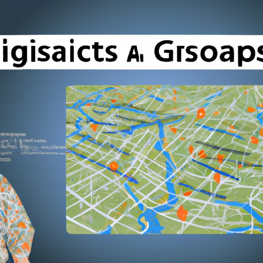
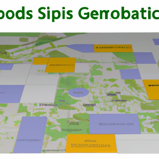
GIS technology can also help businesses gain a better understanding of their data by providing visual representations of it. By using GIS technology, businesses can create detailed maps that allow them to track and monitor changes in their data over time. This helps businesses identify patterns and correlations that may not be visible with traditional methods.
GIS Technology in Action: Real-World Examples
GIS technology is being used in a variety of industries to improve decision making and operational efficiency. Here are some examples of how GIS technology is being used in the public and private sectors:
Examples from the Public Sector
Government agencies are using GIS technology to improve public services. For example, the U.S. Federal Emergency Management Agency (FEMA) uses GIS technology to monitor floods, fires, and other disasters. The U.S. Forest Service also uses GIS technology to manage forests and protect wildlife habitats. GIS technology is also being used by law enforcement agencies to monitor crime hotspots and identify potential threats.
Examples from the Private Sector
In the private sector, GIS technology is being used to improve customer service and increase operational efficiency. For example, many companies use GIS technology to track customer orders and deliveries. GIS technology is also being used in the retail industry to identify potential customers and target marketing campaigns. Additionally, GIS technology is being used in the banking and finance industry to analyze financial data and identify trends.

The Future of GIS Technology and Its Impact on Society
As GIS technology continues to evolve, there are many potential applications for it in the future. Here are some of the potential applications of GIS technology:
Potential Applications of GIS Technology
GIS technology could be used to create more efficient transportation networks by optimizing routes and identifying traffic hotspots. GIS technology could also be used to better manage natural resources and monitor environmental changes. Additionally, GIS technology could be used to improve urban planning and design smarter cities.
Challenges Facing the Adoption of GIS Technology
While GIS technology offers many potential benefits, there are still some challenges facing its adoption. One of the main challenges is the cost associated with implementing GIS solutions. Additionally, some organizations may lack the necessary technical expertise to effectively utilize GIS technology. Finally, data privacy concerns may prevent organizations from sharing their data with third-party GIS providers.
How to Use GIS Technology in Your Business
Using GIS technology in your business can help you gain insights into your data and improve operational efficiency. Here are some tips on how to get started:
Identifying the Right GIS Software
The first step in using GIS technology in your business is to identify the right software solution. There are many different GIS software solutions available, so you should take the time to research each one and determine which one is best suited to your needs. Make sure to consider factors such as cost, features, and ease of use before making a decision.
Implementing GIS Solutions
Once you have identified the right GIS software for your business, the next step is to implement it. This process can involve training staff on how to use the software, setting up data systems, and integrating the software into existing systems. It is important to ensure that all staff members understand how to use the software and that the implementation process is completed properly.

An Overview of GIS Software and Platforms Available Today
There are many different GIS software and platforms available today. Here is an overview of some of the most popular GIS software solutions and open source GIS platforms:
Popular GIS Software Solutions
Esri’s ArcGIS is one of the most popular GIS software solutions. It is used by governments and businesses around the world and provides a comprehensive suite of tools for data analysis, mapping, and visualization. Other popular GIS software solutions include MapInfo Professional and Autodesk Map 3D.
Open Source GIS Platforms
Additionally, there are several open source GIS platforms available, such as QGIS, GRASS, and GeoServer. These platforms provide access to powerful GIS tools without the need for expensive software licenses. Open source GIS platforms are a great option for businesses that want to use GIS technology without breaking the bank.
Conclusion
GIS technology is a powerful tool for collecting, analyzing, and visualizing data. GIS technology offers numerous benefits for businesses and organizations, including improved decision making, enhanced operational efficiency, and increased visibility of data. Additionally, GIS technology is being used in a variety of industries, from the public sector to the private sector. Finally, there are many different GIS software solutions and open source GIS platforms available today, so businesses can find the right solution for their needs.
In conclusion, GIS technology is a powerful tool that can provide businesses with valuable insights into their data. By leveraging the power of spatial analysis, GIS technology can help businesses make better decisions and improve operational efficiency. With the right GIS software, businesses can unlock the full potential of GIS technology and gain a competitive edge.
(Note: Is this article not meeting your expectations? Do you have knowledge or insights to share? Unlock new opportunities and expand your reach by joining our authors team. Click Registration to join us and share your expertise with our readers.)
