Introduction
Geospatial technologies are a set of tools used to capture, analyze, and present data related to the physical world. These technologies allow us to collect, store, and visualize information about the environment around us. From mapping and surveying to remote sensing and satellite imagery, geospatial technologies are becoming increasingly important in our everyday lives.
A Comprehensive Look at Geospatial Technologies
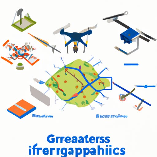
Geospatial technologies encompass a range of different tools and techniques. The most common types of geospatial technologies include Geographic Information Systems (GIS), Global Positioning Systems (GPS), remote sensing, and drones. Each of these technologies has its own unique capabilities and applications.
Types of Geospatial Technologies
Geographic Information Systems (GIS) is a computer system used to collect, store, analyze, and present geographical data. GIS allows users to create maps and other visualizations of geographic data. This technology is often used for land management, urban planning, and environmental monitoring.
Global Positioning Systems (GPS) are used to determine location and track movement. GPS systems use satellites to triangulate position and provide real-time information about location and speed. GPS is commonly used for navigation, tracking, and surveillance.
Remote sensing involves using aircraft or satellites to collect data about the Earth’s surface. This data can then be analyzed to create maps and other visualizations. Remote sensing is often used for agriculture, forestry, and urban planning.
Drones are small unmanned aerial vehicles that can be used to capture images and video. Drones are becoming increasingly popular for photography, videography, and surveying.
Applications of Geospatial Technologies
Geospatial technologies have a wide range of applications. They can be used for a variety of tasks, including mapping, surveying, navigation, disaster management, environmental monitoring, and more. According to a report by MarketsandMarkets, the global geospatial market is expected to reach $279.7 billion by 2025.
Exploring the Benefits of Geospatial Technologies for Businesses
Geospatial technologies offer businesses a range of advantages, from increased efficiency and accuracy to cost savings and improved customer service. Here are some of the key benefits of using geospatial technologies for business:
Increased Efficiency and Accuracy
Geospatial technologies can help reduce errors and increase the accuracy of data. For example, GPS systems can be used to accurately track the location of vehicles and personnel, while GIS can be used to analyze large amounts of data quickly and accurately.
Cost Savings
Geospatial technologies can also help businesses save money. For example, GPS systems can help companies reduce fuel costs by providing more efficient routes, while GIS can help identify areas where resources could be better allocated.
Improved Customer Service
Geospatial technologies can also be used to improve customer service. For example, GIS can be used to identify optimal delivery routes, while GPS can be used to track the location of goods and services in real time.

The Power of Geospatial Technologies and How They Impact Us
Geospatial technologies have the power to transform the way we live, work, and play. Here are some of the ways in which geospatial technologies can impact our lives:
Improved Decision Making
Geospatial technologies can help us make better decisions by providing us with more accurate and up-to-date information. For example, GIS can be used to create detailed maps and models of an area, while GPS can be used to track the movement of people and goods.
Enhancing Collaboration
Geospatial technologies can also help to enhance collaboration between organizations. For example, GIS can be used to share data between different departments, while GPS can be used to coordinate activities across multiple sites.
Increased Safety and Security
Geospatial technologies can also be used to increase safety and security. For example, GIS can be used to monitor the spread of disease or natural disasters, while GPS can be used to track the location of people and assets.
An Overview of Geospatial Technologies and Their Everyday Uses
Geospatial technologies are being used in a variety of everyday applications. Here are some of the most common uses of geospatial technologies:
Logistics
Geospatial technologies can be used to optimize logistics operations, from fleet management to route planning. GPS and GIS can be used to track the location of vehicles and goods, while remote sensing can be used to monitor traffic patterns.
Disaster Management
Geospatial technologies can also be used to help manage disasters. Remote sensing can be used to identify potential hazards, while GIS can be used to assess the impact of disasters and plan for response and recovery.
Environmental Monitoring
Geospatial technologies can be used to monitor and analyze changes in the environment. Remote sensing can be used to measure air and water quality, while GIS can be used to map and monitor land use.
Navigation
GPS systems are widely used for navigation. GPS can be used to locate points of interest, plan routes, and even track the movement of people and goods.
Geospatial Technologies: How They Can Improve Your Life
Geospatial technologies can also be used to improve our everyday lives. Here are some of the ways in which geospatial technologies can benefit us:
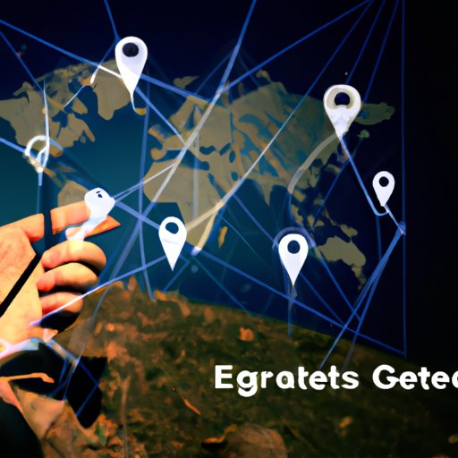
Improved Location Services
GPS systems are now widely used for location services, such as navigation and mapping. GPS can be used to find nearby restaurants, plan routes, and even locate lost items.
Better Transportation Routes
Geospatial technologies can also be used to improve transportation routes. GPS systems can be used to identify the most efficient routes, while GIS can be used to monitor traffic patterns and recommend alternate routes.
Enhanced Weather Forecasting
Geospatial technologies can be used to improve weather forecasting. Remote sensing can be used to measure air temperature, wind speed, humidity, and other factors, while GIS can be used to create detailed maps and models of storm paths.
Geospatial Technologies: The Future of Location-Based Services
Geospatial technologies are playing an increasingly important role in the development of location-based services. Here are some of the ways in which geospatial technologies are being used to develop the future of location-based services:
Autonomous Vehicles
Geospatial technologies are being used to develop autonomous vehicles, such as self-driving cars. GPS systems can be used to track the location of vehicles and provide real-time navigation guidance, while GIS can be used to create detailed maps of roads and terrain.
Smart Cities
Geospatial technologies are also being used to develop smart cities. GIS can be used to monitor air quality, traffic patterns, and other aspects of city life, while GPS can be used to track the movements of people and goods.
Connected Health Care
Geospatial technologies can also be used to develop connected health care systems. GPS can be used to track the location of ambulances and medical personnel, while GIS can be used to map out hospitals and other health care facilities.
The Evolution of Geospatial Technologies and What This Means for You
Geospatial technologies are constantly evolving and improving. Here are some of the ways in which geospatial technologies are changing and what this means for you:
Real-Time Data
Geospatial technologies are now capable of providing real-time data. This means that you can access up-to-date information about the environment around you, such as traffic patterns, weather forecasts, and more.
More Accurate Maps
Geospatial technologies are also making maps more accurate and detailed. This means that you can get more precise directions and view more detailed maps of the world around you.
Big Data Analytics
Geospatial technologies are also being used to analyze large amounts of data. This means that you can access more accurate and up-to-date insights about the environment around you.
Conclusion
Geospatial technologies are powerful tools that can be used for a variety of applications, from navigation to environmental monitoring. Geospatial technologies offer businesses a range of advantages, from increased efficiency and accuracy to cost savings and improved customer service. Geospatial technologies also have the power to transform the way we live, work, and play, by improving decision making, enhancing collaboration, and increasing safety and security. As geospatial technologies continue to evolve, they will offer us more accurate and up-to-date insights about the environment around us.
(Note: Is this article not meeting your expectations? Do you have knowledge or insights to share? Unlock new opportunities and expand your reach by joining our authors team. Click Registration to join us and share your expertise with our readers.)