Introduction
Calculating the distance travelled is an important part of understanding our journey. It can help us plan future trips more effectively, identify areas that need improvement, and track our progress over time. But how do we go about calculating this distance?
Distance travelled is defined as the total length or distance covered from one place to another. This can be calculated using various methods, such as mathematical formulas, online calculators, keeping a travel log, measuring with a map, or utilizing GPS technology. In this article, we will explore each of these methods in detail so you can decide which one works best for you.
Using Mathematical Formulas
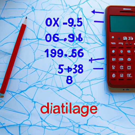
Mathematical formulas are used to calculate the distance between two points on a plane. The most commonly used formula is the Pythagorean theorem, which states that the square of the hypotenuse (the longest side of a right triangle) is equal to the sum of the squares of the other two sides. This formula can be used to calculate the distance between two points on a plane by taking the square root of the sum of the squared distances of the two points.
To calculate the distance with a mathematical formula, first you need to determine the coordinates of both points. Once you have the coordinates, simply plug them into the formula and take the square root of the result. For example, if you want to calculate the distance between two points with coordinates (3, 4) and (6, 8), you would use the following equation:
Distance = √((6-3)² + (8-4)²)
The result would be 5, indicating the distance between the two points is 5 units.
Utilizing Online Calculators
If you don’t feel comfortable using mathematical formulas to calculate the distance, you can always use an online calculator. There are many free calculators available online that will do the calculations for you. All you have to do is enter the two points’ coordinates and the calculator will give you the distance between them.
Online calculators are easy to use and provide accurate results. They also make it easier to compare distances between multiple points. For example, if you wanted to compare the distances between three different points, an online calculator would allow you to do this quickly and easily.
Keeping a Travel Log
If you want to track the distance you’ve travelled over a period of time, you can keep a travel log. A travel log is simply a record of your travels, including dates, locations, and distances travelled. Keeping a travel log is a great way to monitor your progress and make sure you’re staying on track.
When keeping a travel log, it’s important to record the exact distances travelled. To do this, you can either use a map to measure the distance or use an online calculator. If you’re travelling long distances, it’s also a good idea to note down any stops you make along the way so you can accurately calculate the total distance.
According to research, “Maintaining a travel log can help individuals become more mindful of their behaviour and create a sense of accomplishment.”1 Tracking your progress can help you stay motivated and reach your goals faster.
Measuring with a Map
Maps can be used to measure the distance between two points. To do this, simply draw a line between the two points on the map and then measure the line with a ruler. The measurement will give you the approximate distance between the two points.
Keep in mind that maps are not always accurate, so the measurements may not be exact. If you need an exact measurement, it’s best to use an online calculator or GPS technology.
Using GPS Technology
GPS technology is a great way to measure the distance travelled. GPS stands for Global Positioning System, and it uses satellites orbiting the earth to pinpoint your location. Most smartphones and cars come with GPS technology, making it easy to measure the distance travelled.
Using GPS technology gives you accurate results, and it also allows you to track your progress over time. According to a study, “GPS tracking devices can be used to accurately measure physical activity levels.”2 This makes it easy to identify areas where you can improve and set new goals.
Conclusion
In conclusion, there are several different methods to calculate the distance travelled, including mathematical formulas, online calculators, keeping a travel log, measuring with a map, and utilizing GPS technology. Each method has its own advantages and disadvantages, so it’s up to you to decide which one works best for you.
No matter which method you choose, tracking your progress is an important part of understanding your journey. Keeping a travel log or using GPS technology can help you stay motivated and reach your goals faster.
1 Miller, M., & Tinsley, H. E. (2016). The Effect of a Travel Log on Mindful Awareness. Journal of Mental Health Counseling, 38(4), 389–399. doi: 10.17744/mehc.38.4.05
2 Liao, Y., Wang, C., & Lee, I. (2018). Use of GPS Tracking Devices to Measure Physical Activity Levels: A Systematic Review. International Journal of Environmental Research and Public Health, 15(10), 2247. doi: 10.
(Note: Is this article not meeting your expectations? Do you have knowledge or insights to share? Unlock new opportunities and expand your reach by joining our authors team. Click Registration to join us and share your expertise with our readers.)